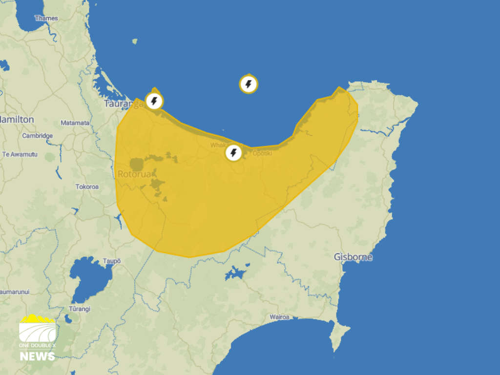
A severe thunderstorm watch is in place for the Bay of Plenty until 9am today.
Strong thunderstorms are approaching Rotorua and east of Tauranga from offshore.
MetService said some of these storms may become severe, producing localised downpours and damaging wind gusts of 120 km/h or more.
"Rainfall of this intensity can cause surface and/or flash flooding, especially about low-lying areas such as streams, rivers or narrow valleys, and may also lead to slips," it said.
"Driving conditions will also be hazardous with surface flooding and poor visibility in heavy rain."
MetService said wind gusts of this strength can cause some structural damage, including trees and power lines, and may make driving hazardous.
Whakatāne District Council say there is surface flooding on a number of roads across the district including:
- Peace Street - surface flooding over ford
- Rata Street - surface flooding
- Kōwhai Street - surface flooding
- James Street - surface flooding
- Pōhutukawa Ave - surface flooding (down to one lane in parts)
The council said most roads are open, however the roads are slippery so motorists should drive with care.
"Our teams are clearing slips and managing areas where water is still receding," it said.
"Please take extra care near waterways, low-lying areas, and known trouble spots. If you live near steep slopes / escarpments - remain alert for any signs of instability or movement."
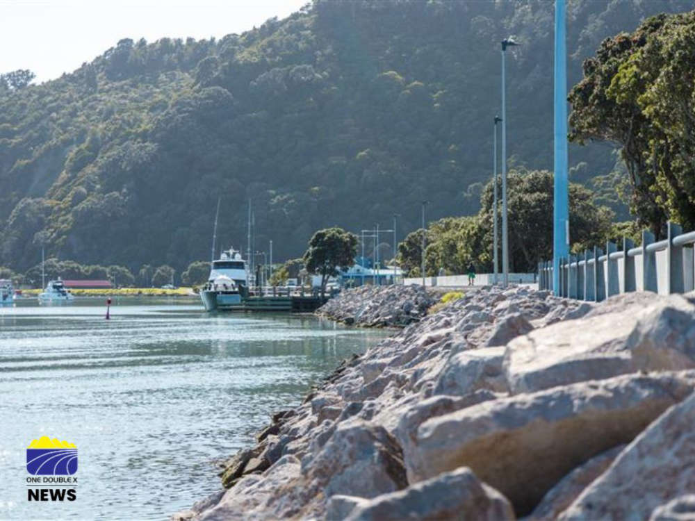
Flooding on Churchill Street.
 Bronze Plaque Stolen From Whakatāne Kiwi Trust’s Wandering Trail
 Whakatāne Waste Fees to Rise 10% as Council Confirms Annual Charges
 Victoria Cross Recipient Willie Apiata to Speak on Resilience and Wellbeing in Eastern Bay
 Whakatāne Riverfront Enhancement Moves Forward, Asbestos Removal Begins in July