Eastern Bay of Plenty residents faced intense weather yesterday, with strong thunderstorms in the morning and evening.
MetService Meteorologist Katie Lyons explained that “early yesterday morning, there was an intense line of thunderstorms that moved through, so heavy rain as well as gusty winds with that.”
The system tracked steadily across the region, reaching Tauranga “around 5.30am to 6.00am” before continuing through the rest of the Bay of Plenty.
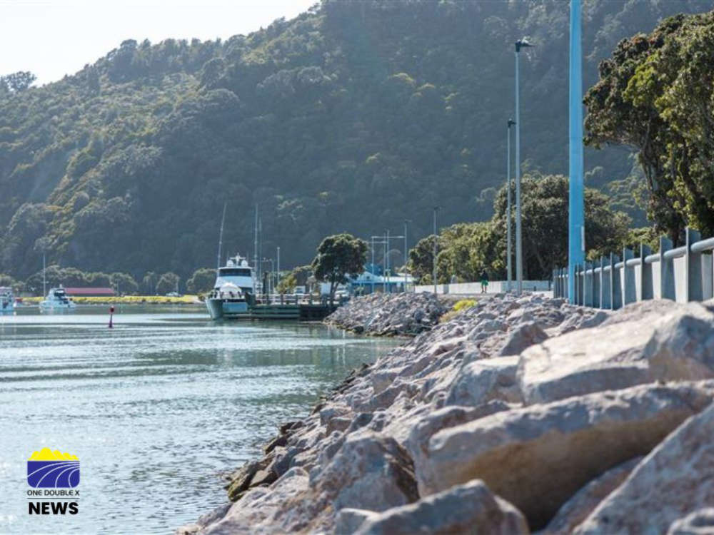
Communities such as Whakatāne reported particularly severe conditions, with the Whakatāne District Council reporting surface flooding on several roads.
The cause of these storms lies in a low-pressure system that has been affecting much of the North Island.
Lyons said the system has made the atmosphere “particularly unstable,” meaning the air is very likely to rise quickly when disturbed. This rising motion of moist air is what generates thunderstorms and heavy rainfall.
She added that the storms have been forming in organised bands of thunderstorms that, in this case, have been moving across the North Island.
Regions including Ruapehu District, Bay of Plenty, Northland and Auckland have all been impacted by these “very organised, strong lines of thunderstorms.”
Despite the intensity of the storms, many areas also experienced long periods of calm weather in between.
“Quite often with these showery conditions and thunderstorms, you do get these very fine breaks in between, and it's not until you have those lines or those individual thunderstorm cells pass over you that there's a drastic change.”
She noted that while “80% of the day was actually quite beautiful” in the region, the remaining periods brought sudden bursts of severe weather, including “heavy showers” and moments where “it was quite intense.”
The strength of the storms comes down to what meteorologists call the “ingredients” for thunderstorm development.
Lyons outlined these as moisture, lift, and a trigger mechanism.
“You need the ability once something is trying to push it up for it to keep rising,” she said.
“If you think about a hot air balloon, it only rises because the air that it's rising into is cooler than what's in the balloon.”
She said the past couple of days had “very strong ingredients,” which lined up well to create the intense storms.
Looking ahead, conditions are expected to gradually improve.
Lyons said the wet weather is starting to ease off as the week goes on.
“We do still have some showery conditions, but they are a bit more sparse and weaker than what we have been seeing,” she explained.
More settled weather is on the horizon, with Lyons noting that “tomorrow things start to fine up for more of the North Island and Thursday is really when we're getting some much better weather.”
 Bronze Plaque Stolen From Whakatāne Kiwi Trust’s Wandering Trail
 Whakatāne Waste Fees to Rise 10% as Council Confirms Annual Charges
 Victoria Cross Recipient Willie Apiata to Speak on Resilience and Wellbeing in Eastern Bay
 Whakatāne Riverfront Enhancement Moves Forward, Asbestos Removal Begins in July